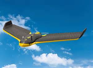
With 1cm / pixel resolution, our drone surveying deliverables lead the industry in precision. Our turn-around time can be as short as a few hours. Whether the project is a mining volume calculation, infrastructure inspection e.g. pipeline, water tank, bridge, topographic survey, or just an up to date 2D or 3D aerial image of a property. Our team can quickly and safely provide a UAV LiDAR survey with unparalleled accuracy and speed.
Our UAV Mapping/Aerial Data Collection Services include:
- Topographical Surveys up to 1 cm accuracy
- 2D or 3D Up-To-Date Aerial Imagery
- Imagery for use on ALTA Surveys
- Golf Course Design/Re-design
- Pipeline Inspections
- Bridge Inspections
- Water Tank Inspections
- Roof Inspections